


Blog, Fire Season, News
Queensland’s Top 10 4WD Adventures: Camping, Campfires & Key Tips
Feb

Ready to roam Queensland’s most scenic and adventurous 4WD spots? Here’s our list of ten destinations featuring everything from beachfront camping to misty rainforest hideaways. We’ve clarified which ones allow camping (and campfires), and which are strictly day-use or have special rules. Whether you’re heading to Rainbow Beach for the weekend or trekking deep into the Cape, this guide ensures you’re prepared for an epic trip in the Sunshine State.
Essential Checklist
- Check official Queensland Parks alerts for fire bans, closures, or permit updates.
- Bring clean, untreated firewood (collecting wood on-site is usually prohibited).
- Understand local fire policies: some beaches ban open fires entirely.
- Secure your rubbish and food—help keep local wildlife safe.
- Choose a suitable vehicle for 4WD tracks; many places require a Vehicle Access Permit.
Inskip Peninsula Recreation Area, Rainbow Beach
Inskip Peninsula is a slender stretch of land just north of the town of Rainbow Beach, originally recognised for its strategic location as a barge access point to K’gari (Fraser Island). Centuries before modern tourism, this coastal fringe and the wider Great Sandy region were significant to the Butchulla people, who traversed these waters for fishing and trade. As Rainbow Beach grew into a popular gateway to K’gari, Inskip evolved into a laid-back camping hub, offering unspoiled coastline and breezy pine woodlands.
Today, Inskip is best known for its relaxed beachside camping, where 4WD adventurers revel in ocean views and calm bays for fishing. Multiple camping areas dot the peninsula, each with composting toilets and simple facilities; you’ll need to bring your own drinking water and firewood. Because of its proximity to Rainbow Beach, it’s easy to restock supplies or explore nearby café culture. Just remember, the sandy tracks and tide conditions mean you should double-check weather forecasts and tide charts before heading in.
Camping Status: Camping allowed
Fires: Permitted in existing fire sites (if no bans). Always check current conditions; rules may change.
Location: About 3 hours north of Brisbane. Official Park Info: https://parks.desi.qld.gov.au/parks/inskip-peninsula
Why Go: Ideally situated near K’gari (Fraser Island),with both ocean and calm bay views—a favourite for 4WD beach access and fishing.
Key Activities:
• Beach driving
• Swimming
• Fishing
• Day trips to Rainbow Beach’s coloured sands.
Facilities: Composting toilets; limited water. BYO all other essentials.
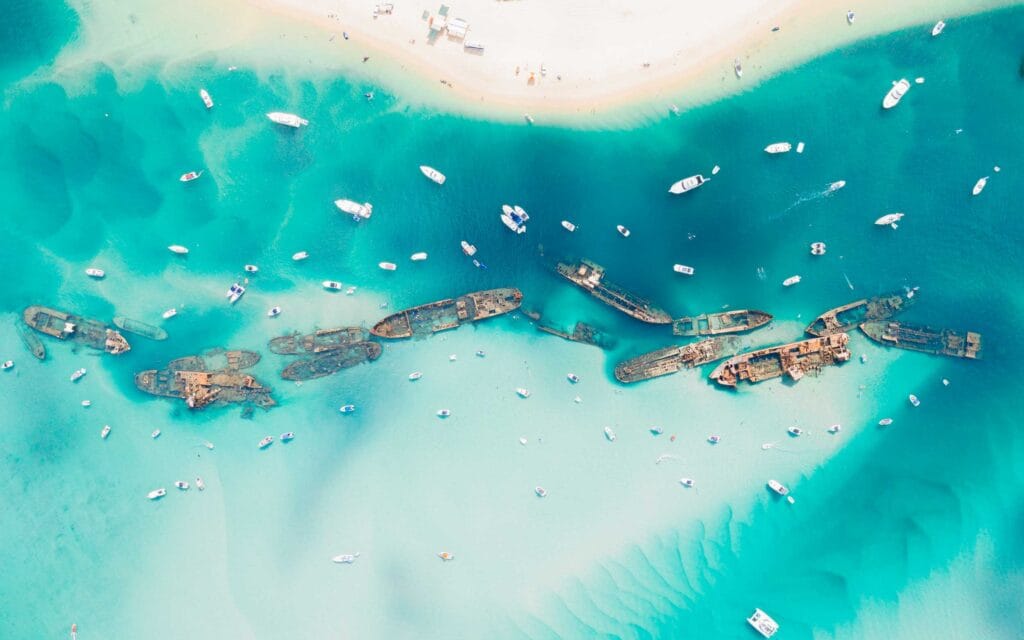
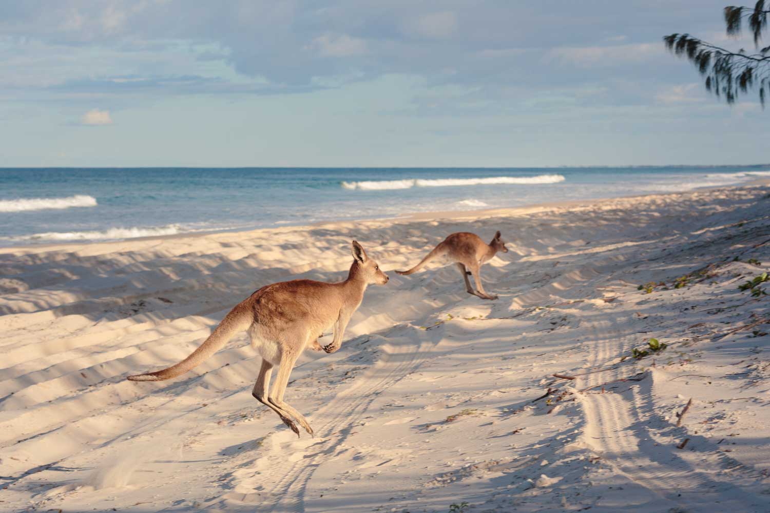
Moreton Island (Mulgumpin), Near Brisbane
Known as Mulgumpin to its Traditional Owners, Moreton Island is the world’s third-largest sand island, formed over millennia from drifting sands. Early European records date back to Captain Cook’s journey in 1770, and the island has since been home to lighthouse keepers, wartime fortifications, and a small community of fishers. Today, it stands as a protected national park, celebrating both the island’s ecological wonders and its Aboriginal heritage.
A short ferry ride from Brisbane, Moreton Island captivates visitors with freshwater lakes, sweeping beaches, and epic dunes for sandboarding. Tangalooma’s famed shipwrecks provide top-notch snorkeling, while whale-watching (June to October) showcases the island’s marine richness. Campers can choose between rustic beach sites or more developed campgrounds with showers. Don’t forget: 4WD permits are required to drive on sand, and you must bring your own firewood if campfires are allowed at your chosen site.
Camping Status: Camping allowed
Fires: Allowed in designated fire pits at campsites (subject to bans). Confirm current restrictions at time of booking.
Location: Accessible by barge/ferry from Brisbane. Moreton Island National Park: https://parks.desi.qld.gov.au/parks/gheebulum-kunungai-moreton-island
Why Go: One of the world’s largest sand islands, famous for the Tangalooma Wrecks, epic 4WD beach routes, and dune sandboarding.
Key Activities:
• Snorkelling
• Fishing
• Whale watching (winter)
Facilities: Range from basic beach sites to well-equipped campgrounds (toilets/showers).A Vehicle Access Permit is required for 4WDs.
Imbil State Forest, Sunshine Coast Hinterland
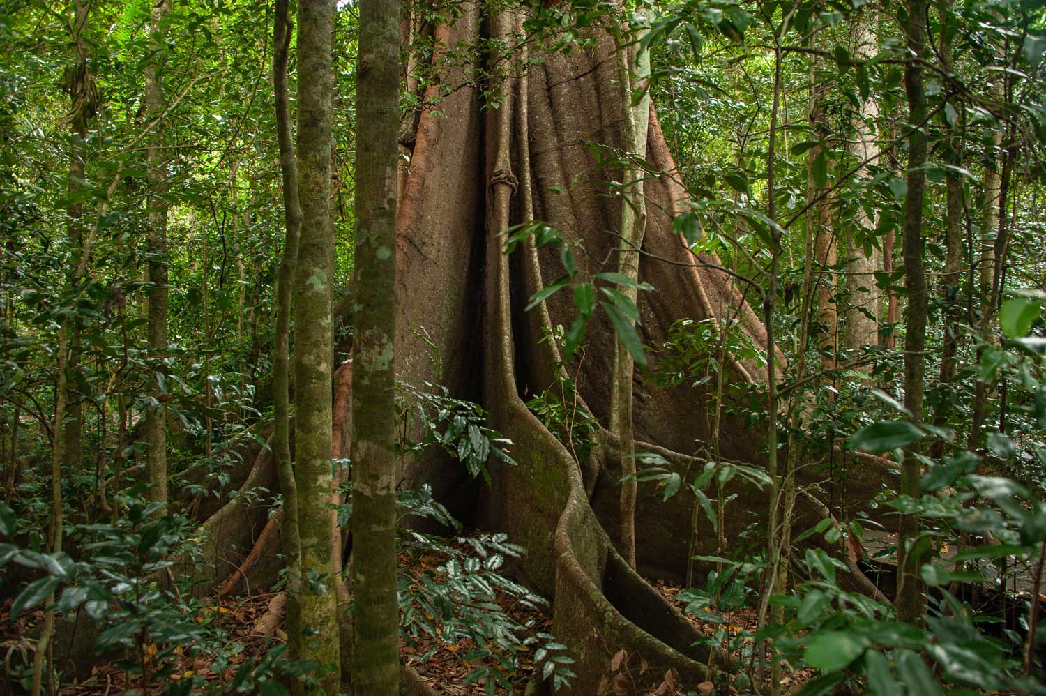
Nestled in the Mary Valley, Imbil was once a bustling forestry area where tall timbers were processed and transported. The township of Imbil retains a country charm, reflecting its logging and farming roots. Over time, the forest itself was set aside to protect the region’s biodiversity, leading to today’s blend of re-growth timber areas and preserved rainforest pockets.
Visitors come for peaceful forest camping under the canopy, often near creeks that are perfect for paddling or cooling off. Basic facilities (toilets, some water points) mean you’ll need to be self-sufficient—pack your own food, drinking water, and firewood. The hinterland roads offer scenic drives, and nearby attractions include Lake Borumba for boating and Mary Valley townships for artisan produce. Remember to check local fire bans; controlled campfires only in designated rings.
Camping Status: Camping allowed
Fires: Small campfires in allocated rings only. Bring your own firewood. Check local bans or weather alerts.
Location: About 2 hours north of Brisbane. Imbil State Forest Camping: https://parks.desi.qld.gov.au/parks/imbil
Why Go: Enjoy the tranquility of tall forests near the Mary Valley, with opportunities for kayaking, fishing, and scenic drives.
Key Activities:
• Hiking
• Creek swimming
• Birdwatching
• Exploring local produce towns
Facilities: Basic amenities (toilets, some water points). Pack extra supplies.
Burrum Coast National Park, Bundaberg
Part of the Bundaberg region’s coastal ecosystem, Burrum Coast National Park includes a patchwork of woodlands, wetlands, and sandy shorelines historically inhabited by the Butchulla people. European settlement introduced small-scale farming and fishing to the area, with the township of Woodgate evolving into a quiet seaside retreat over time. Conservation efforts led to the formation of the national park, safeguarding turtle nesting beaches and pristine wetlands.
Beach campers love the gentle waves and the chance to spot migrating whales offshore. Hiking trails meander through paperbark forests and coastal heaths, offering glimpses of kangaroos and abundant birdlife. Facilities vary by campsite—some have toilets and picnic tables, while others are more rustic. Because the region is relatively under the radar, it’s ideal for those seeking a tranquil alternative to busier Queensland beach spots.
Camping Status: Camping allowed
Fires: Permitted in designated fire rings (if no bans). Verify changes through Queensland Parks.
Location: Near Bundaberg, about 4.5 hours from Brisbane. Burrum Coast NP Camping: https://parks.desi.qld.gov.au/parks/burrum-coast
Why Go: Uncrowded beaches and tidal flats, great for fishing and birdwatching, plus an easy drive to the Bundaberg region.
Key Activities:
• Beach strolls
• Wildlife spotting
• Casting a line
Facilities: Some toilets, picnic tables; water can be limited.
Eungella National Park, Mackay
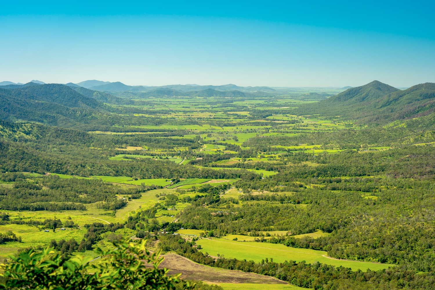
High above the Pioneer Valley, Eungella National Park is one of Australia’s most significant subtropical rainforests, stretching back over 50 million years. The name “Eungella” is said to mean “land of cloud” in a local Aboriginal language—a fitting tribute, given the mountain mist that often drapes the plateau. Once only accessed by a rough track, the area gained attention for its unique wildlife—particularly the elusive platypus.
Today, sealed roads bring nature enthusiasts to Eungella’s lush walking trails, sky-high lookouts, and tranquil creeks. Most visitors camp within the park’s designated grounds or stay in nearby lodges. With cooler temperatures year-round, it’s perfect for escaping the coastal heat; just keep an eye on weather conditions in the wet season. Campers should bring their own firewood and be prepared to follow park guidelines for minimal impact.
Camping Status: Camping allowed
Fires: Allowed in provided rings at designated campsites (check local restrictions). Conditions can change; confirm before arrival
Location: West of Mackay. Eungella National Park Camping: https://parks.des.qld.gov.au/parks/eungella/camping
Why Go: Elevated rainforest with reliable platypus sightings at Broken River. Enjoy sweeping valley views from the Sky Window lookout.
Key Activities:
• Hiking
• Rainforest wildlife watching
• Waterhole dips
Facilities: Toilets, picnic tables; BYO firewood.
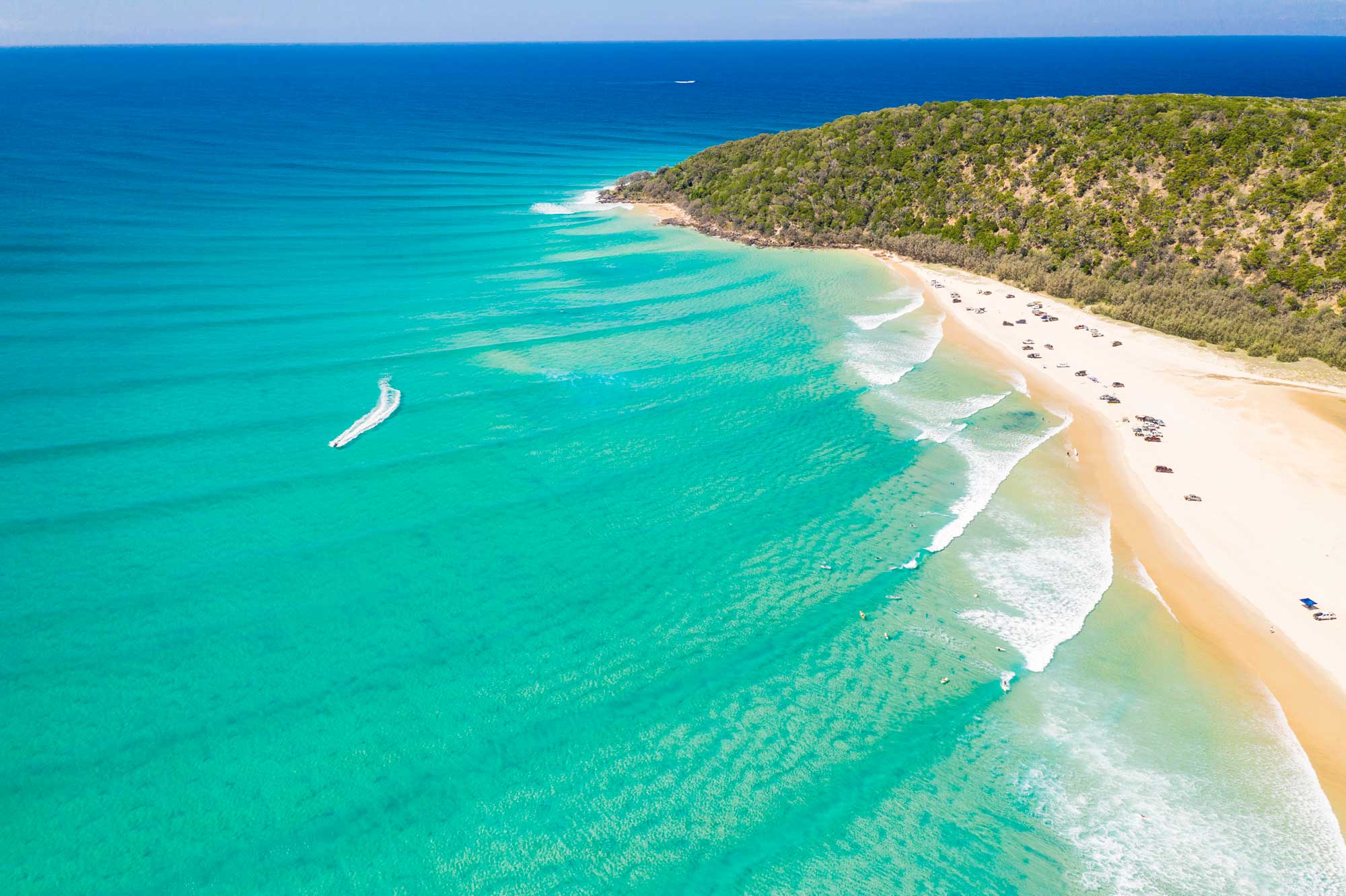
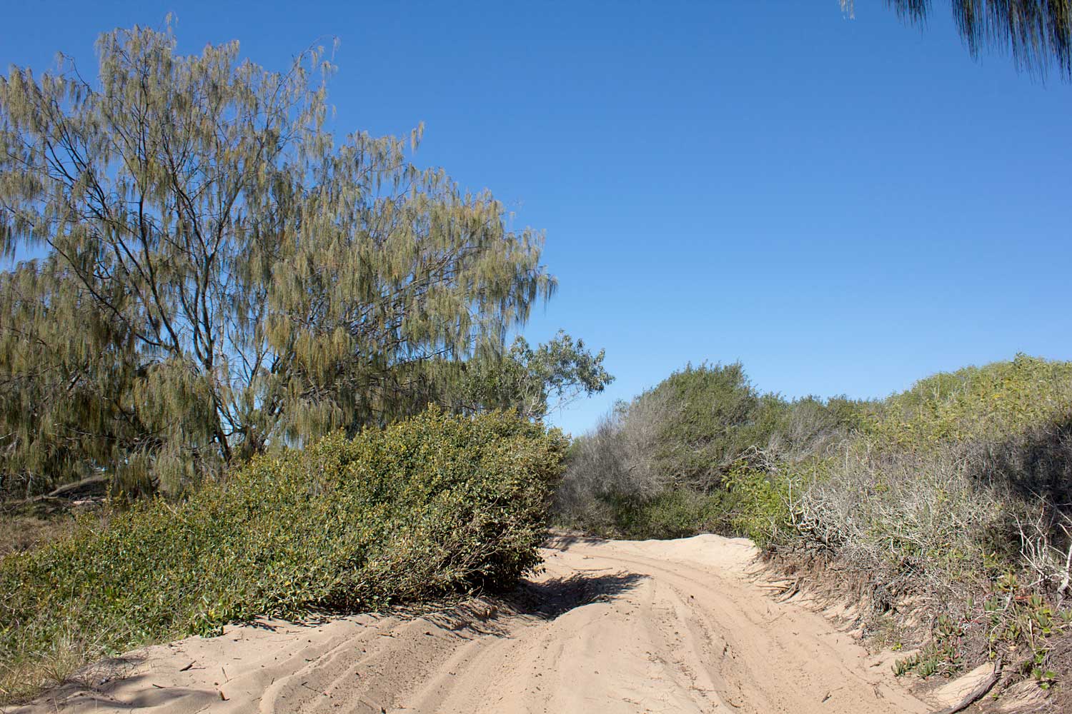
Cooloola Recreation Area (Teewah Beach, Poverty Point), Near Rainbow Beach
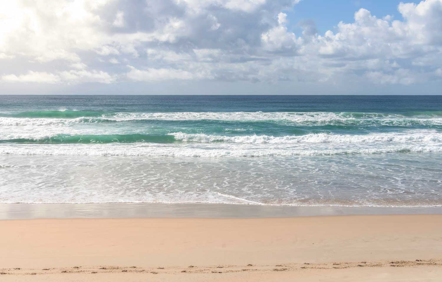
Part of Great Sandy National Park, the Cooloola Recreation Area covers an expanse of coastal dunes and coloured sand cliffs stretching from Noosa North Shore to Rainbow Beach. Early Indigenous inhabitants, such as the Kabi Kabi people, left evidence of fishing and foraging along these shores. Later, lighthouse keepers and cattle graziers briefly used the region, but by the 20th century, the focus turned to conservation and low-impact recreation.
Teewah Beach camping is popular with 4WD enthusiasts, but note that open fires are banned. Meanwhile, Poverty Point offers a more relaxed vibe, where contained campfires are still allowed. Scenic Double Island Point is strictly day-use—perfect for a quick surf or kayak trip. Bring essentials (food, water, etc.) as the area has minimal facilities. If you like stargazing, the clear night skies along these beaches can be breathtaking, away from city lights.
Camping Status: Yes, but only at Teewah Beach or Poverty Point
Double Island Point: Day-use only, no campingFires:
• Teewah Beach: No open fires (gas/manufactured-fuel stoves only)
• Poverty Point: Small, contained campfires allowed in existing fire sitesCheck for updated rules or any total fire bans.
Location: Between Noosa North Shore and Rainbow Beach. Cooloola Recreation Area Info: https://parks.des.qld.gov.au/parks/cooloola
Why Go: Stunning beach scenery, famed coloured sand cliffs, and a chance to surf or spot dolphins at Double Island Point. Combine with a Rainbow Beach visit for supplies or day trips.
Key Activities:
• Surfing
• 4WD beach driving
• Fishing
• Scenic headland lookouts
Facilities: Limited or none on the beach—be self-sufficient. Permit required to drive on the beach.
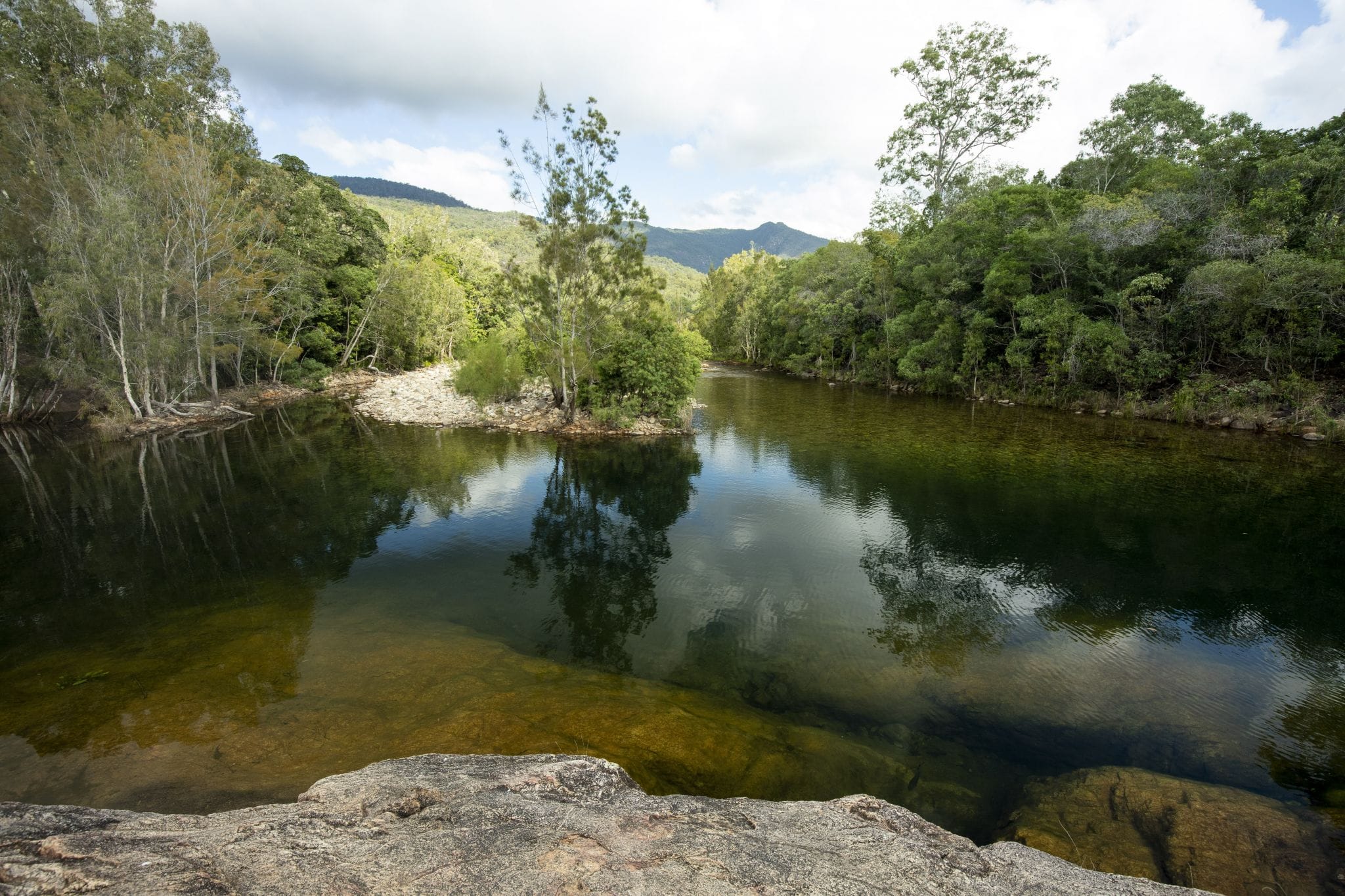
Mount Spec, Paluma Range National Park (North of Townsville)
(Credit: Parks QLD)https://parks.des.qld.gov.au/parks/paluma-range
Located in the southern section of Paluma Range, Mount Spec became a conservation area in the early 20th century, partly thanks to the rugged beauty that attracted hikers and scientists alike. A historic stone bridge over Little Crystal Creek still stands—a legacy of 1930s Depression-era public works. With its lush rainforest and waterfalls, the area has long been a favourite escape for Townsville locals seeking cooler mountain air.
Camping near Mount Spec usually involves short rainforest walks, birdwatching, and refreshing dips in rock pools. Facilities are basic: toilets, picnic tables, and designated fire rings (when not under a ban). The road climbing into Paluma can be winding, so drive carefully, especially in wet weather. Once at the top, the national park’s vantage points offer sweeping views of Halifax Bay and the coastal lowlands.
Camping Status: Camping allowed
Fires: Only in designated fire rings; bring your own firewood.Check for local restrictions or bans.
Location: North of Townsville. Paluma Range NP: https://parks.des.qld.gov.au/parks/paluma-range
Why Go: Cool rainforest climate, picturesque rock pools at Little Crystal Creek, and a heritage-listed stone arch bridge.
Key Activities:
• Short rainforest walks
• Birdwatching
• Refreshing swims
Facilities: Toilets, picnic areas, some water (treat before use).
Bribie Island National Park & Recreation Area, Near Brisbane
Bribie Island is Queensland’s fourth-largest sand island, separated from the mainland by the narrow Pumicestone Passage. Traditional Country of the Gubbi Gubbi people, it later became a hub for oyster farming and holiday shacks as Brisbane expanded north. Conservation measures created a national park on the northern part of the island, preserving dunes, wetlands, and roosting sites for migratory birds.
With a bridge connecting it directly to the mainland, Bribie offers the convenience of a quick island getaway—perfect for first-time beach campers or families. You’ll find designated campsites with basic facilities and 4WD-only zones along the ocean beach. Fishing, kayaking, and birdwatching are top draws. Plan your beach drives around low tide, and remember you’ll need a 4WD permit to travel the coastal route.
Camping Status: Camping allowed
Fires: Permitted in provided fire rings at designated campsites (if no bans). Review current alerts before lighting up.
Location: ~1 hour north of Brisbane, connected by road bridge. Bribie Island NP: https://parks.des.qld.gov.au/parks/bribie-island
Why Go: Brisbane’s closest sand island, blending a laid-back beach vibe with straightforward accessibility(no ferry needed).
Key Activities:
• 4WDing along the ocean beach
• Fishing
• Kayaking in Pumicestone Passage
Facilities: Basic amenities (toilets, picnic tables).A 4WD permit is required for beach driving.
Danbulla National Park & State Forest, Atherton Tablelands
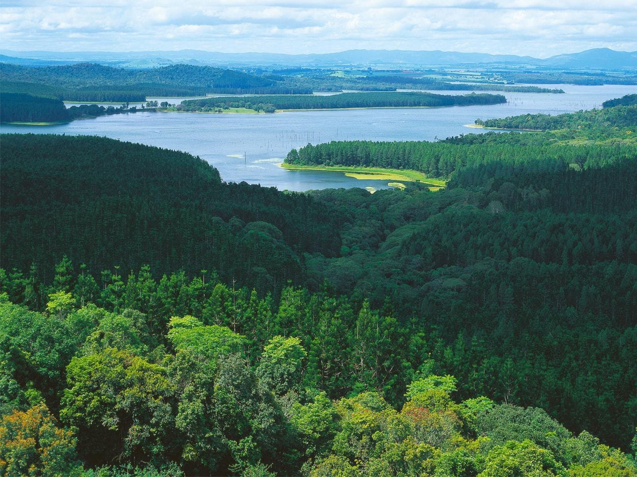
(Credit: Parks and Forests –https://parks.des.qld.gov.au/parks/danbulla)
Nestled around Lake Tinaroo on the Atherton Tablelands, Danbulla hosts a mosaic of forest types: eucalypt woodlands, rainforest patches, and exotic pine plantations. Historically used for logging, the land was partially flooded in the 1950s with the creation of Tinaroo Dam, changing the landscape into a popular recreation area for locals and travellers alike. Today, national park status helps conserve its diverse flora and fauna.
Campers love Danbulla for its lakeside views—perfect for boating, fishing (including sought-after barramundi), and kayak adventures. Multiple campgrounds ring the dam, each with toilets and varying facilities. Bring enough supplies: while Atherton or Mareeba aren’t too far by car, it’s best to arrive well-stocked. Keep an eye out for the region’s wildlife, from tree kangaroos in the canopy to water dragons sunning near the shore.
Camping Status: Camping allowed
Fires: Allowed in designated fire rings, subject to fire bans. Confirm any changes on QLD Parks’ site.
Location: Surrounding Lake Tinaroo, ~1.5 hours west of Cairns. Danbulla Camping: https://parks.des.qld.gov.au/parks/danbulla/camping
Why Go: Picturesque lakeside camping with excellent boating, fishing (barramundi!), and forest exploration.
Key Activities:
• Swimming
• Kayaking
• Bush walks
• BBQ by the lake
Facilities: Toilets, picnic tables; some water (treat if drinking).
Chilli Beach, Kutini-Payamu (Iron Range) National Park, Cape York Peninsula
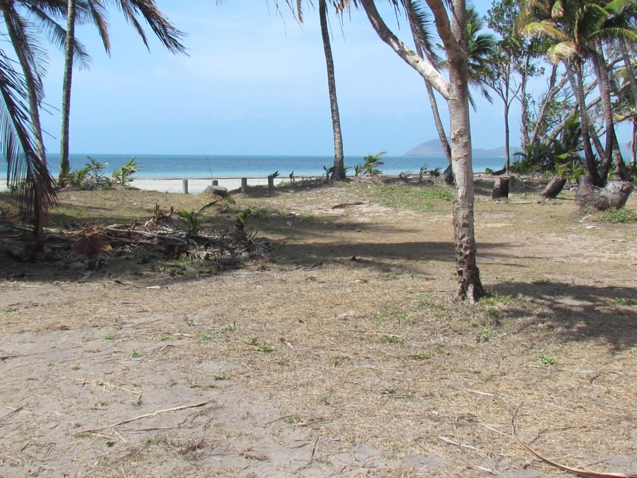 (Credit: Parks and Forests –https://parks.des.qld.gov.au/parks/kutini-payamu/camping/chilli-beach)
Tucked away in remote eastern Cape York, Chilli Beach is part of Kutini-Payamu (Iron Range) National Park, an area with strong cultural significance to Aboriginal groups including the Kuuku Ya’u people. During World War II, the Iron Range saw the construction of airstrips and temporary bases, remnants of which can still be found inland. Despite wartime footprints, the coastline remains strikingly untouched—just coconut palms, rainforest, and windswept beaches.
Accessed via a rugged 4WD route, Chilli Beach rewards adventurous travellers with seclusion and a rare tropical coastal-rainforest environment. Simple campsites offer pit toilets and limited amenities—so self-sufficiency is key. Gusty trade winds can pick up, giving the shore a wild feel, and crocodiles inhabit nearby waterways. Many campers spend lazy days beachcombing, fishing (with caution), and spotting colourful parrots like the palm cockatoo.
Camping Status: Camping allowed
Fires: Allowed in existing fireplaces at designated areas (unless a total ban). Always verify up-to-date conditions.
Location: Remote eastern Cape York, accessible by 4WD. Kutini-Payamu (Iron Range) NP: https://parks.des.qld.gov.au/parks/kutini-payamu
Why Go: Pristine, wind-swept beach flanked by rainforest—an off-the-beaten-track coastal wilderness.
Key Activities:
• Beachcombing
• Fishing (beware of crocs)
• Spotting rare parrots (palm cockatoos, Eclectus)
Facilities: Basic sites (long-drop toilets, some picnic tables).
Bring all water and supplies.
Bonus: Campfire Cooking Essentials
For an unforgettable camp cooking experience, consider packing: FireChef Knives from our OZ BraaiStore — perfect for prepping hearty meals.
•Awesome Spice Seasonings to jazz up your barbecue or braai.
Conclusion: Pick Your Perfect Queensland Escape
Whether you’re heading for Rainbow Beach with easy access to Inskip, or exploring remote gems like Chilli Beach, Queensland spoils you with a variety of 4WD-friendly adventures. Always remember that Double Island Point is strictly day-use—camp instead at Teewah Beach (no open fires) or Poverty Point (fires allowed in rings) within the Cooloola Recreation Area.
With proper permits, a well-stocked vehicle, and awareness of fire regulations, you’re set for a safe, spectacular Queensland adventure. Check weather, pack your gear, and enjoy the thrills of Australia’s top 4WD and camping playground!
Looking for more? Explore our Braai & BBQ Tips or Camp Cooking
Recipes for further inspiration.